The Eisenhower Interstate System
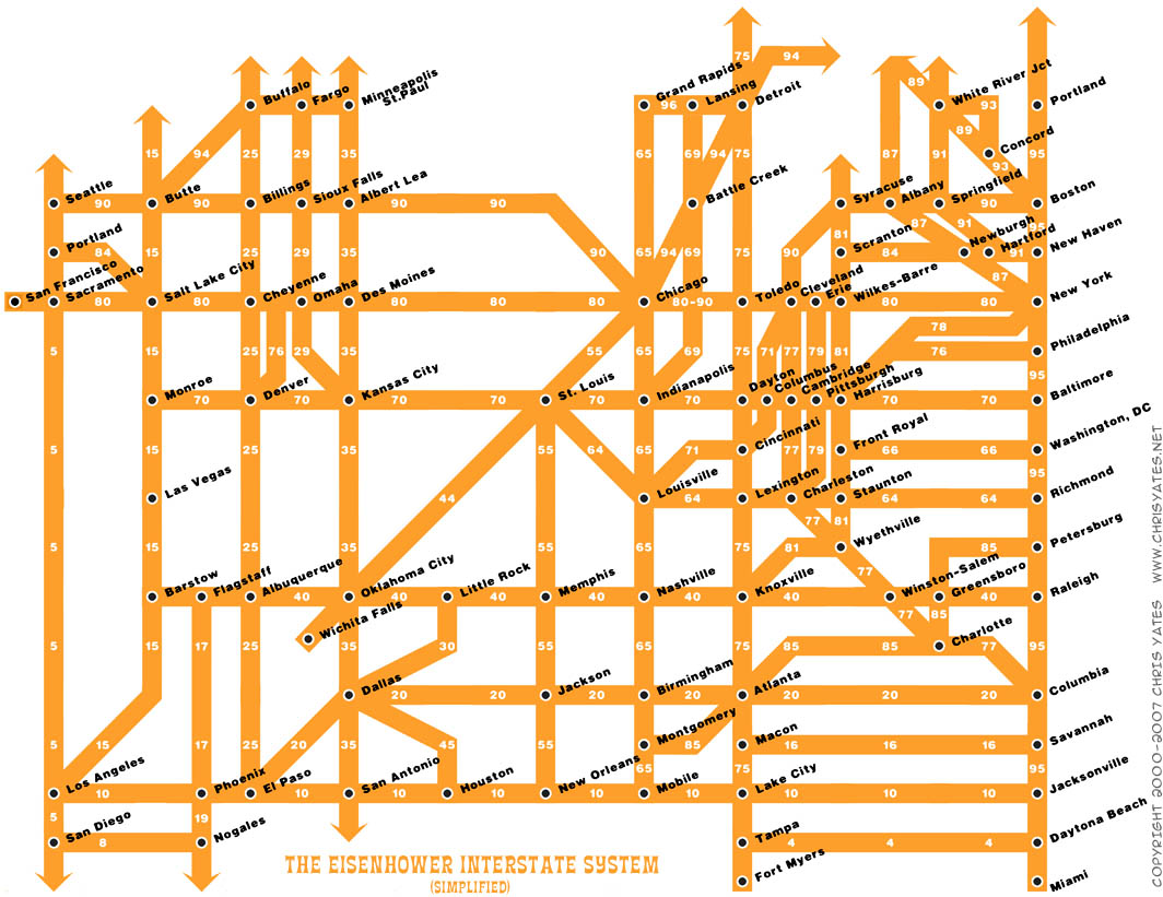
What a fantastic way to simplify the U.S. interstate system into an easy to understand graphic. From Chris Yates on chrisyates.net. Style looks like a subway map.
Found on Digg.

Follow me on Twitter

Follow the Twitter List
"Cool Infographics People"

Subscribe on your Amazon Kindle


Nat Case of Hedberg Maps created a different version of this, which can be found on their web site.
ReplyDeleteThere was also a discussion of both of these maps on CartoTalk.